AlanLichty
Moderator
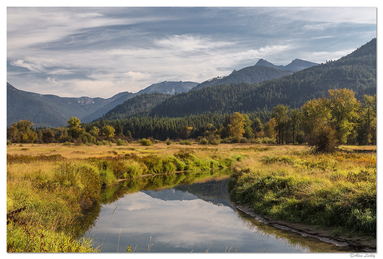
A few years back after a fall visit to Glacier National Park I decided to take the scenic route home and my first destination was a side trip to the site of the ice dams that were responsible for the Missoula floods that shaped eastern Washington and the Columbia River valley. My goal was to find the most interesting looking roads to get there. My maps showed me what looked like a pleasant path through a valley that followed the Bull River in western Montana. Turned out to be a nice path to follow and this is the Bull River with some nice reflections and fall hues:
C&C always welcome.
C&C always welcome.
Last edited:

