

Douglas Sherman
Staff
One of the grandest views of Sedona is when you approach the town from the west along 89A. Some of the renowned features are Thunder Mountain, Sugar Loaf, Coffee Pot Rock, the Sphinx, Cibola Mitten, and the Sailing Ship. This section will feature those landmarks.

Some of the most important viewing points are from sites along Airport Road. There are two main spots with obvious parking spaces. These are lower Airport Road and upper Airport Road. Parking elsewhere along this road is dangerous and will get you a ticket.
From lower Airport Road you can take the trail a short distance to see to the northeast and east. You can also take the Airport Loop Trail (covered a bit down the page) completely around the mesa from this parking lot.

Doug Sherman
Doug Sherman
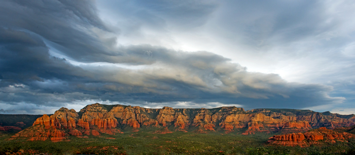
From the lower parking lot, as mentioned above, you can access Airport Loop Trail. This goes around the circumference of Airport Mesa. There are some spectacular views from this trail. The image below was taken from this location.

Bob Shuman
The image below was also shot from the side of Airport Mesa. The formation to the left is the Sphinx and just to the right of it is Cibola Mitten.

Bob Shuman
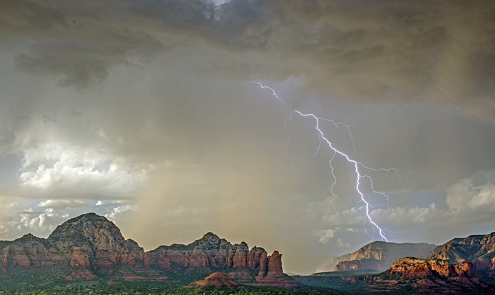
At the upper location there is a large parking area before you get to the airport. From this vantage point you are looking to the north, northeast, or northwest. There will be a person collecting $3 for the parking fee there.
Doug Sherman
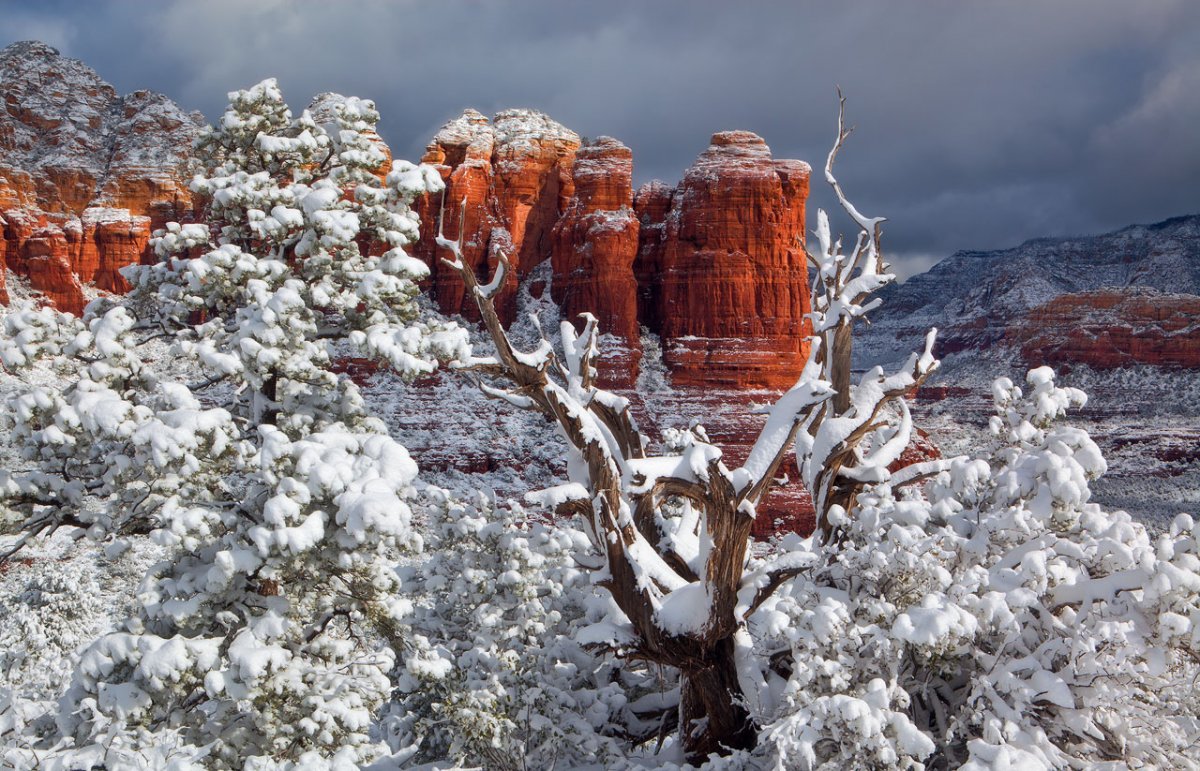
The image below shows the relationship between Sugar Loaf and Coffee Pot Rock. Excellent images can be obtained of Coffee Pot Rock from the top of Sugar Loaf. To get to Sugar Loaf go north on Coffee Pot Drive. Turn left at Sanborn and go .15 miles to Little Elf and turn right. Go .2 miles on Little Elf and then turn right on Buena Vista. The trailhead is just ahead on the left. It is a one-mile hike to the top of Sugar Loaf. The images below are from this vantage point.

Doug Sherman
 Guy Schmickle
Guy Schmickle
 Bob Shuman
This view of Thunder Mountain was taken along the trail to Sugarloaf overlook.

Guy Schmickle
Viewpoints along Soldiers Pass Road yield some nice images as well. This view is of the Sphinx and Cibola Mitten.

Guy Schmickle
This view is of the Cockscomb along Dry Creek Road. The original intent was to catch the Pan-STARRS Comet but to no avail.
Doug Sherman
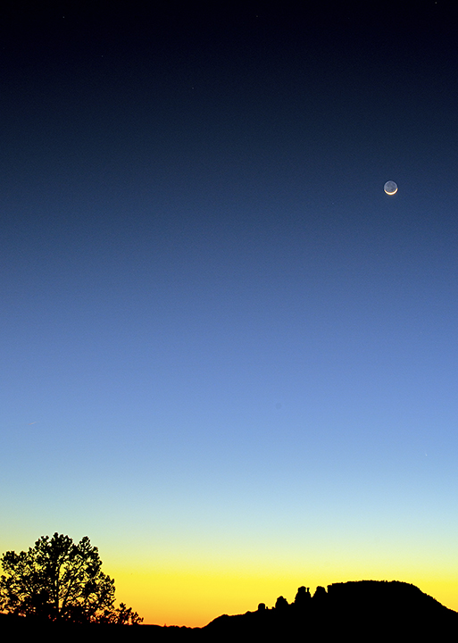
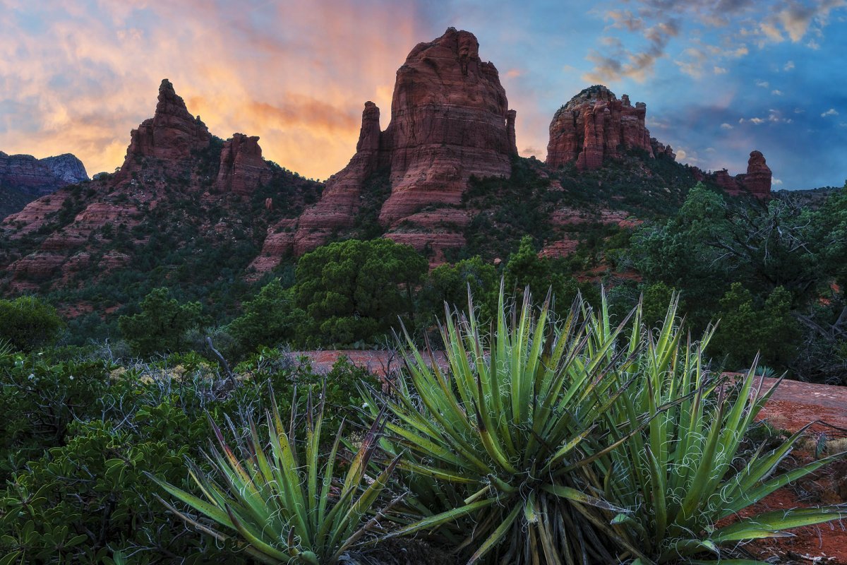
This image was taken along Cibola Pass Trail. It shows the Cibola Mitten and The Sphinx.
Guy Schmickle
Some of the most important viewing points are from sites along Airport Road. There are two main spots with obvious parking spaces. These are lower Airport Road and upper Airport Road. Parking elsewhere along this road is dangerous and will get you a ticket.
From lower Airport Road you can take the trail a short distance to see to the northeast and east. You can also take the Airport Loop Trail (covered a bit down the page) completely around the mesa from this parking lot.
Doug Sherman
Doug Sherman
From the lower parking lot, as mentioned above, you can access Airport Loop Trail. This goes around the circumference of Airport Mesa. There are some spectacular views from this trail. The image below was taken from this location.
Bob Shuman
The image below was also shot from the side of Airport Mesa. The formation to the left is the Sphinx and just to the right of it is Cibola Mitten.
Bob Shuman
At the upper location there is a large parking area before you get to the airport. From this vantage point you are looking to the north, northeast, or northwest. There will be a person collecting $3 for the parking fee there.
Doug Sherman
The image below shows the relationship between Sugar Loaf and Coffee Pot Rock. Excellent images can be obtained of Coffee Pot Rock from the top of Sugar Loaf. To get to Sugar Loaf go north on Coffee Pot Drive. Turn left at Sanborn and go .15 miles to Little Elf and turn right. Go .2 miles on Little Elf and then turn right on Buena Vista. The trailhead is just ahead on the left. It is a one-mile hike to the top of Sugar Loaf. The images below are from this vantage point.
Doug Sherman
Guy Schmickle
This view of Thunder Mountain was taken along the trail to Sugarloaf overlook.
Guy Schmickle
Viewpoints along Soldiers Pass Road yield some nice images as well. This view is of the Sphinx and Cibola Mitten.
Guy Schmickle
This view is of the Cockscomb along Dry Creek Road. The original intent was to catch the Pan-STARRS Comet but to no avail.
Doug Sherman
This image was taken along Cibola Pass Trail. It shows the Cibola Mitten and The Sphinx.
Guy Schmickle
Last edited:


