

AlanLichty
Moderator
I had one of those master plans for a moonrise shot looking back at the Heceta Head Lighthouse the day after the supermoon with the extra low tide right at sunset. Did my homework using The Photographer's Ephemeris, NOAA tide tables, and Windy TV for weather info on swell height/directions. The only problem was reality - which didn't match my expectations for a location to shoot from.
During the winter of 2016-2017 the NW got hit with a lot more rain than usual. Almost double normal rainfall for some coastal locations. In this case there is a local creek that comes out on the opposite side of the beach from the lighthouse named Cape Creek. In recent years the creek hugged the edge of a set of cliffs and then dumped into the Pacific. During some of the heavy rains last winter a new and significant gravel bar formed right at a corner of the cliffs and the creek is now diverted well out onto the beach away from the cliffs. The old chunk of beach where we used to be able to shoot the lighthouse from is now right in the middle of where the creek runs and even with a -1.8' tide you can't even come close to getting a view of the lighthouse from below. This image shows the new configuration:
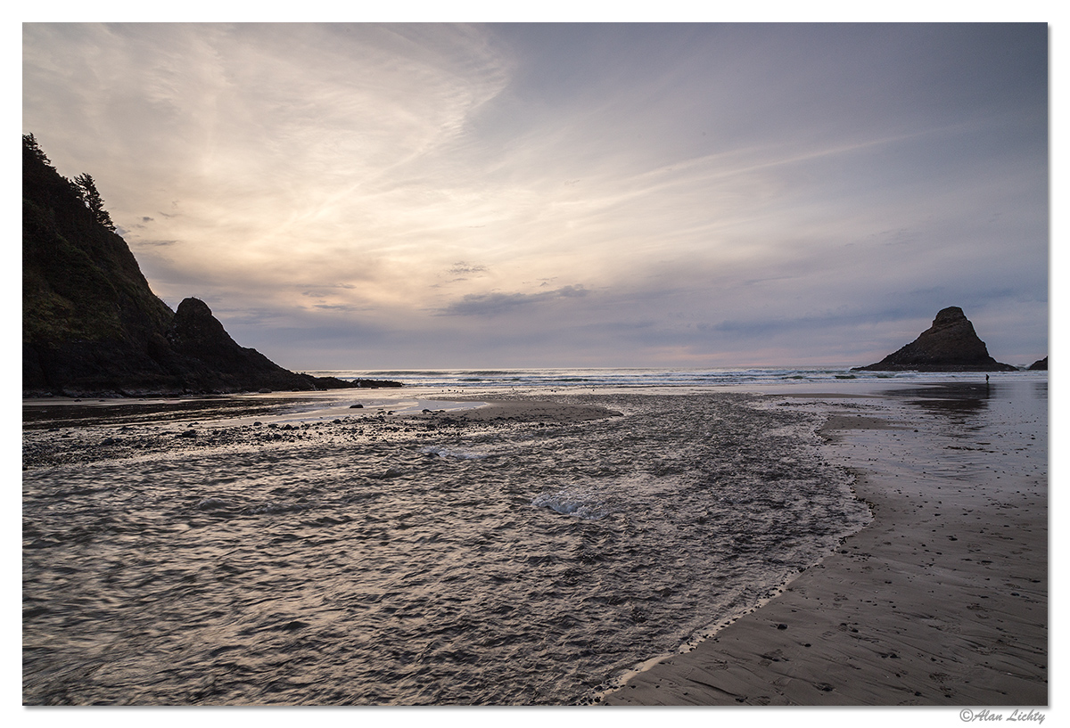
The water where we used to shoot from (look for the far set of birds) is about knee high but the creek has removed all the sand and cut down to gravel so even extra low tide waves will wash into your position. Sneaker waves this time of year make that a Really Bad Idea(TM).
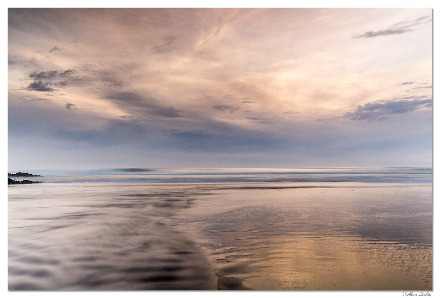
I didn't really find the beach all that photogenic right now but still had some interesting skies so I went for long open shutter times to get my sunset shot in for the day:
C&C always welcome.
During the winter of 2016-2017 the NW got hit with a lot more rain than usual. Almost double normal rainfall for some coastal locations. In this case there is a local creek that comes out on the opposite side of the beach from the lighthouse named Cape Creek. In recent years the creek hugged the edge of a set of cliffs and then dumped into the Pacific. During some of the heavy rains last winter a new and significant gravel bar formed right at a corner of the cliffs and the creek is now diverted well out onto the beach away from the cliffs. The old chunk of beach where we used to be able to shoot the lighthouse from is now right in the middle of where the creek runs and even with a -1.8' tide you can't even come close to getting a view of the lighthouse from below. This image shows the new configuration:
The water where we used to shoot from (look for the far set of birds) is about knee high but the creek has removed all the sand and cut down to gravel so even extra low tide waves will wash into your position. Sneaker waves this time of year make that a Really Bad Idea(TM).
I didn't really find the beach all that photogenic right now but still had some interesting skies so I went for long open shutter times to get my sunset shot in for the day:
C&C always welcome.


