First real pictures of Cave Creek, Az

Rick Nantais

Well-Known Member
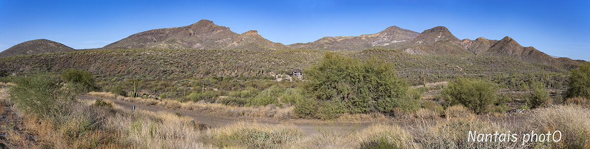
Pictures taken at the Spur Cross Ranch Regional park. First shot, Elephant Mountain, a panoramic made of 4 pictures
elephant2S.jpg

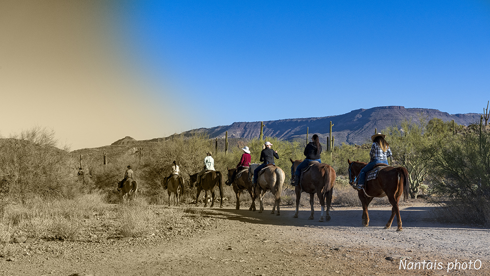
Second shot, horseback riders passing by
NZ2_1218s.jpg

More to come...
 

AlanLichty

Moderator
Nice panorama. I looked up where these shots were taken just for grins.

Cave Creek used to be one of my favorite places in the desert north of the metro area in the 1960's but I am finding that I don't recognize anything on maps of the area now. What was Cave Creek was less than a square mile of buildings with a 2 lane road connecting Scottsdale Rd. and Cave Creek Rd. Both of those road were 2 lanes for about 25 miles of desert north of the metro area at the time. There were a couple of steakhouse restaurants and a gas station in between Cave Creek and Carefree. Most of the road to Bartlett Lake looked like the gravel path in your second image.
 
Top Bottom