AlanLichty
Moderator
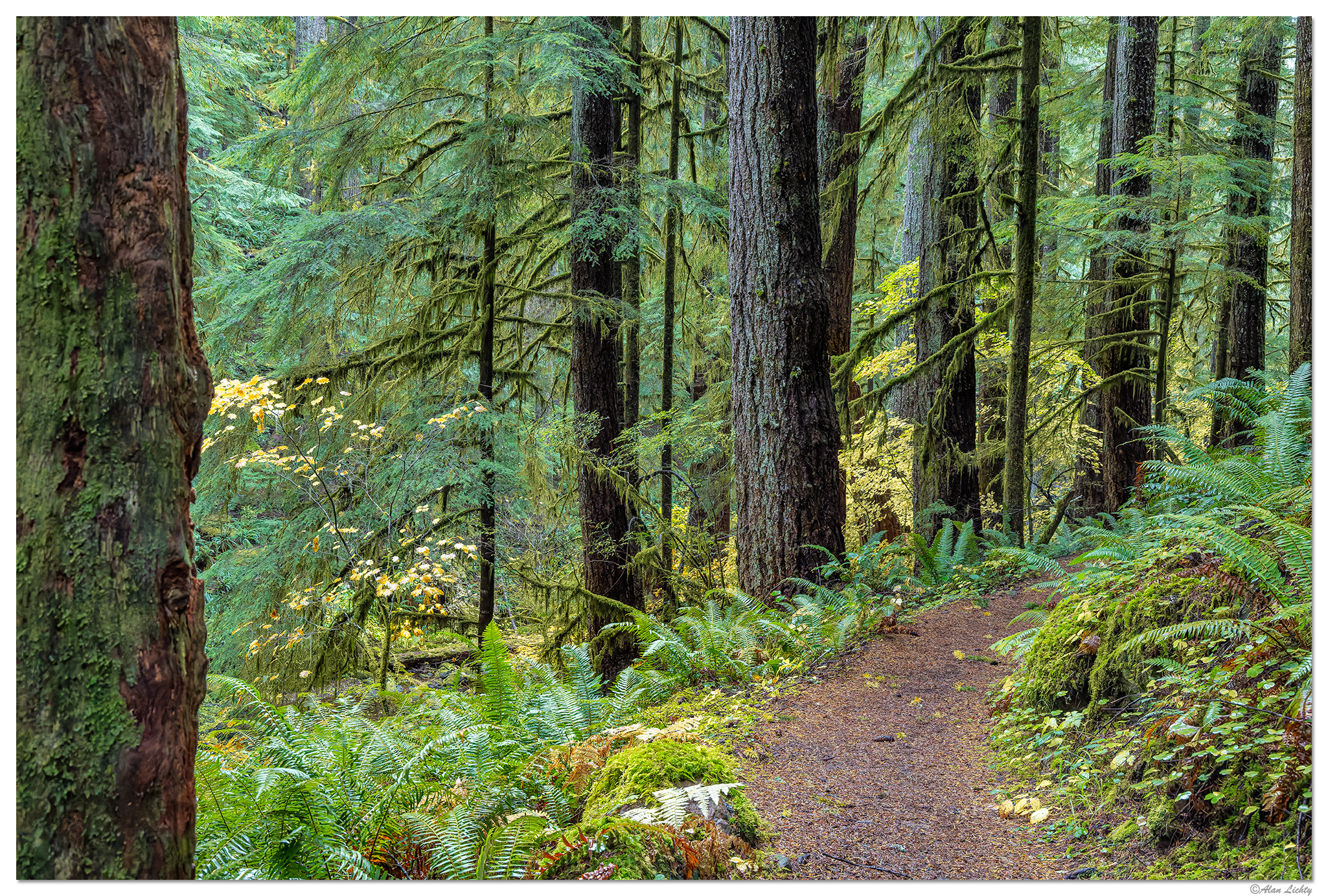
This is a scene along the trail follows Kentucky Creek heading down to some waterfalls before it joins the North Fork of the Smith River in the Oregon Coast Range. True old growth forests aren't all that common in the coast range given intense logging over the past 150 years but there are some patches that were always too steep to be easily exploited. The tree trunks of the oldest trees aren't massively thick but they make up for that with their height with many well over 200' tall. From where I took this shot last week you can't see the tops of most of the trees due to the dense canopy they form overhead. Not a lot of sunlight makes it down to the forest floor. Fall colors are mostly yellows on low growing maples like the ones in this scene. This area gets close to 100 inches of annual rain which is about 2/3 of what falls in the Hoh Rainforest on the Olympic Peninsula but had a very different feel to it compared to the Hoh.
I originally had the notion that I might be able to fly my drone around for some shots of this creek and its waterfalls but by the time I reached the trailhead driving in I could see that would not be possible. I did make a quick periscope flight straight up from the parking area after getting back from hiking since the clearing in the forest near the road was the only hole in the forest canopy. I didn't clear the tree tops until my drone reached 230 feet above the ground. The only clearing in the canopy cover was the narrow slot of the Forest Service road leading to the trailhead and everywhere else was a carpet of spruce and fir treetops. No fall colors were visible in the old growth areas at all although you could see some in the distance in places that had either been logged or burned in wildfires.
C&C always welcome.