

Douglas Sherman
Staff
I didn't realize that aerial images were attractive to those on this site until I posted one of Monument Valley.
I am a retired professor of geology and took all kinds of images for illustrative purposes in my classes and aerial photos were always great for this. Drone images would have been great but I retired before that became possible. Here are a few from the southwest.
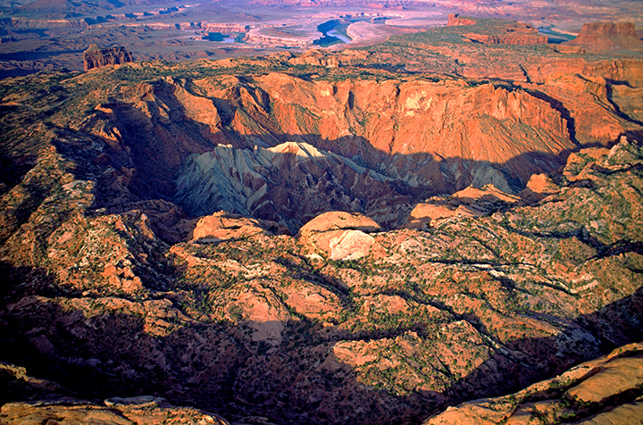
The first one is Upheavel Dome in Canyonlands. The debate about the origin of this feature is that it is either a result of a salt dome rising or a meteorite hit. No one has ever found any meteoritic material so that hypothesis seems unlikely.
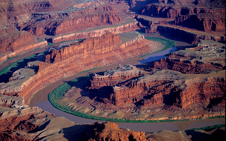
This one is the backside view of the Colorado River at Dead Horse Point. Dead Horse Point Overlook is to the upper right hand corner.
This one is of Chesler Park from the Needles District in Canyonlands National Park.

I am a retired professor of geology and took all kinds of images for illustrative purposes in my classes and aerial photos were always great for this. Drone images would have been great but I retired before that became possible. Here are a few from the southwest.
The first one is Upheavel Dome in Canyonlands. The debate about the origin of this feature is that it is either a result of a salt dome rising or a meteorite hit. No one has ever found any meteoritic material so that hypothesis seems unlikely.
This one is the backside view of the Colorado River at Dead Horse Point. Dead Horse Point Overlook is to the upper right hand corner.
This one is of Chesler Park from the Needles District in Canyonlands National Park.
Last edited:


